Work with Backgrounds
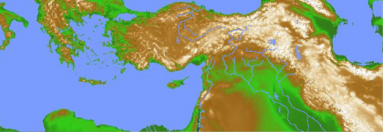
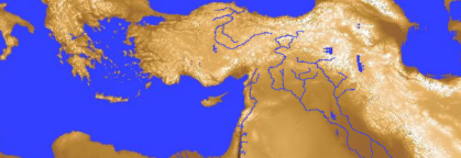
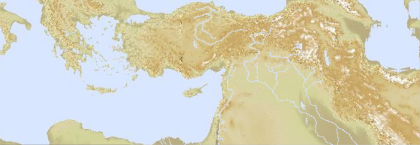
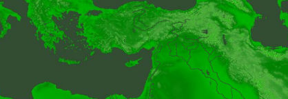
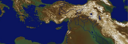
 You can choose from several different Atlas backgrounds via the Background pop-up menu. Simply choose another background in the list to apply different coloring to the displayed Atlas.
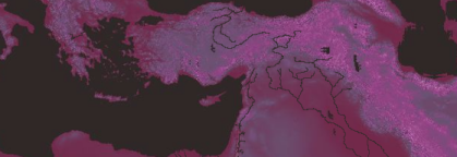
Most of the backgrounds show full topographical detail. As you zoom in on the Atlas, more details come into view, especially in the areas of greatest interest.
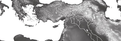
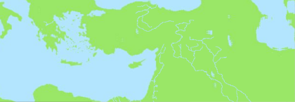
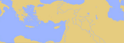
Backgrounds named with a single color are flat, and have no topographical detail. These are smaller and faster files, and are often better for printing with superimposed layers on a grayscale printer.
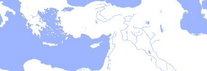
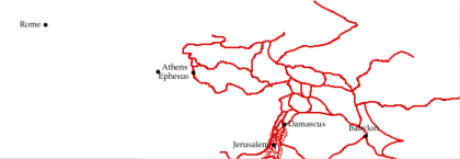
Select No Background to create an Atlas on a plain white background.
Each background is stored as an individual file in the Atlas files folder.
Click any of the background names below to view an example of that background.
[No Background][No Background]When using no background, the entire background is white, with no additional information. In this example, a Site layer and a Route layer are also displayed.
|
